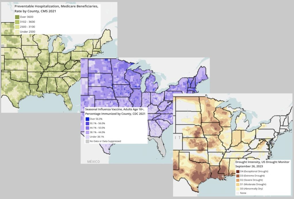
New data layers are continually added to the RocHealthData map room. Since August 2023, a total of 11 data sets from a variety of national sources (eg, the Center for Disease Control and Prevention, the Census Department, the National Oceanic and Atmospheric Administration) have been added or updated. We’ve selected three of these layers for viewing in the map room, including the Drought Intensity Map (updated weekly) which shows some current drought conditions to our west and in the Southern United States.
Explore these layers further in the Map Room.


Leave a Reply
You must be logged in to post a comment.